Wondering whether the alpe adria trail is too much for you? Probably not: it follows existing paths in stages of about 20 km, so you can walk all 750 km or just a few favourite days.
For more ways to get out on foot, browse our section on outdoor activities in carinthia.
| Item | Value |
|---|---|
| Total length | circa 750 km |
| Number of stages | 43 stages |
| Typical stage length | around 20 km |
| Typical walking time per stage | about 6 hours |
| Short circular version | approximately 130 km in seven one-day stages |
| Height of the Grossglockner at the start | 3,798 m |
These figures come from the trail’s own overview and its printed map booklet. They can change, so check the source before you rely on them.
What the alpe adria trail covers
The route links Carinthia, Slovenia and Friuli-Venezia Giulia in 43 stages and circa 750 km, according to the trail’s own overview. The same page says the trail runs along existing paths and connects them, so it feels like a classic hiking route rather than a purpose-built track.
The first stage begins at the Kaiser-Franz-Josef-Höhe, the end of the grossglockner high alpine road, as the trail’s long-distance hiking page explains. The finish is the Italian harbour city of Muggia, near Trieste.
Along the way you cross the three regions of Carinthia, Slovenia and Friuli-Venezia Giulia, as the trail’s overview describes. Use the trail’s own stage list as your reference when you plan your days.
Check each day’s start and finish point before you book a bed, and confirm the length and walking time of any stage you plan to combine with another. A day that looks short on paper can still feel long once you add luggage and climbs.
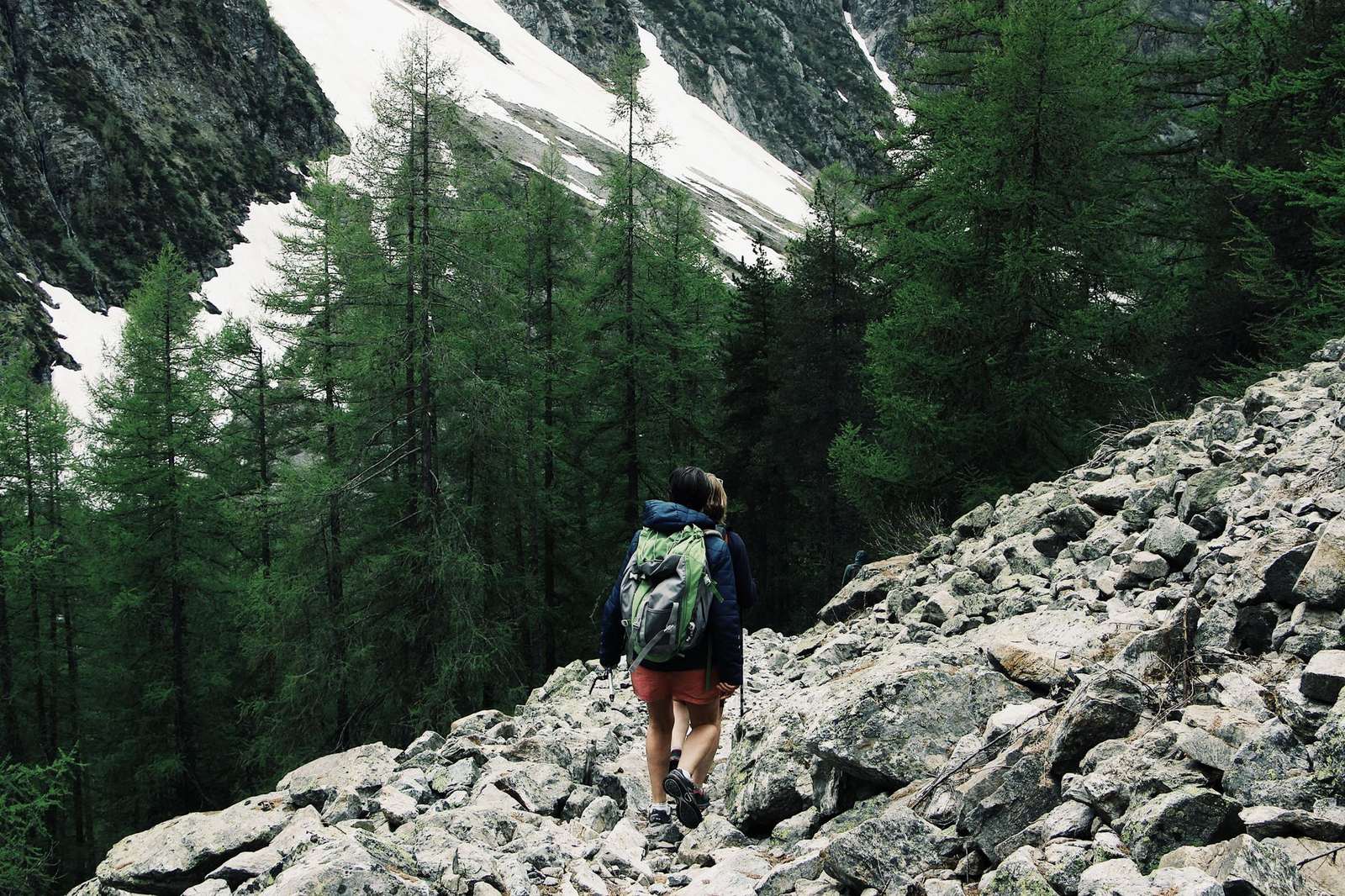
The scenery changes a lot along the way, according to the trail map booklet, which describes a walk through three countries and three cultures. Highlights it names include:
- The Pasterze glacier and the Hohe Tauern National Park at the start.
- The lakes and gentle ridges of Carinthia, such as the Millstätter Alpe.
- The Soča river, which the route largely follows through Slovenia’s Triglav National Park.
- The Goriška Brda wine region, where winegrowing is a centuries-old tradition.
How long is a stage, and how should you split the walk?
The trail’s overview describes stages of around 20 km that each take about 6 hours to walk, all consistently signposted (trail overview). The map booklet says around 17 km per stage instead (map booklet), so treat distances as rough and check the stage you actually plan to walk.
Each stage follows a defined route that can be walked in both directions. It also offers at least one culinary highlight and ends in a place with overnight accommodation, which makes a point-to-point plan realistic (trail overview).
The same page says the trail was designed mainly with pleasure hikers in mind. It also mentions mountain runner Toni Wutte, who went from the Hohe Tauern to the Adriatic Sea in just 19 days in the summer of 2016. Most walkers will want a calmer pace than that.
A simple way to build a plan:
- Decide how many stages you want to walk and in which direction.
- Pick your start and end towns from the stage list.
- Check that each stage ends in a place where you can sleep, and book ahead for busy weeks.
- Decide whether you want your luggage moved between stops.
- Check the weather forecast shortly before each day.
Walking the Carinthian section
The trail starts at the foot of the Pasterze, the largest glacier in Austria, in the heart of the Hohe Tauern National Park. After Heiligenblut it leads to Grosskirchheim, according to the map booklet.
Further on you walk through the gentle landscape of the Nockberge Biosphere Park, which stages 15 and 16 cross. The booklet also notes that Arriach is the geographical centre of Carinthia and the starting point of the stage up to the Gerlitzen Alpe.
The last stage entirely on Carinthian soil runs from Velden am Wörthersee to the Baumgartnerhöhe, not far from Lake Faaker See. Shortly before the end of it you pass the ruined Finkenstein Castle.
If walking day after day does not appeal, the alpe adria cycle path is another way to explore the Alpe-Adria region.
Shorter options: the three-country circular tour
If the whole trail is too long, the map booklet describes a short version of approximately 130 kilometres on seven one-day stages (map booklet). A Villach regional tourism page confirms the same 130 km and calls the Villach region its starting point.
The booklet’s route description runs roughly like this:
- Start in Carinthia on the Baumgartnerhöhe near Lake Faaker See.
- Continue to Warmbad Villach, Nötsch and Feistritz.
- Reach Italy via the Canal Valley, Valbruna and Tarvisio.
- Pass Monte Santo di Lussari, the Laghi di Fusine and the foot of the Mangart.
- Cross into Slovenia at Kranjska Gora, then return to the starting point in Carinthia.
Another option is to pick single stages. The trail’s long-distance page says that if you do not want to take on the entire 750-km trail, you can simply choose your favourite stage or stages (long-distance hiking page). On the Italian side, Italia.it describes a climb up Mount Lussari (1,790 m) with views over the Julian Alps.
Packing, luggage and safety
The trail’s hiking tips call long-distance hiking an endurance sport that needs careful planning, good health and realistic self-evaluation (long-distance hiking page). The same page suggests a rucksack that includes:
- Lightweight, well broken-in, waterproof trekking boots with non-slip soles.
- Protection against rain, cold and sun, plus a first aid kit.
- A mobile phone; the European emergency number is 112.
- Maps and a GPS to help you navigate.
- About 1.5 litres of fluids, plus snacks and healthy food.
The page adds that you can have heavy luggage transported to your next accommodation, which is handy with children or dogs. It also advises staying on the marked mountain trails, taking regular breaks and leaving no litter.
Keep noise down near wild animals and grazing livestock. Food and drink breaks matter too, since the page says they help maintain performance and concentration.
Frequently asked questions
How long is the Alpe-Adria-Trail?
Show answer
The trail’s own overview gives 43 stages and circa 750 km. Other sources may count slightly differently, so check the stage list you plan to use.
Do I have to walk the whole trail?
Show answer
No. You can choose single stages, as the long-distance hiking page says, or follow the roughly 130 km circular version from the map booklet.
Where does it start and end?
Show answer
The first stage begins at the Kaiser-Franz-Josef-Höhe, and the destination is Muggia near Trieste, according to the trail’s long-distance hiking page.
Can I walk it in either direction?
Show answer
Yes for each stage: the trail overview says every stage follows a defined route that can be walked in both directions.
Can my luggage be moved ahead?
Show answer
The trail’s hiking tips say you can have heavy luggage transported to your next accommodation. Check the details with the providers before you travel.