Wondering how hard the alpe adria cycle path from Salzburg really is? You can ride 428.8 km to the Adriatic in 8 stages, mostly on asphalt, with a train skipping the high Tauern.
Looking for more ways to get outside in the region? The overview of outdoor activities in carinthia is a good place to start.
| Item | Value |
|---|---|
| Total distance (Bikemap tour) | 428.8 km |
| Number of stages | 8 stages, Salzburg to Grado |
| Total ascent | 6,367 m |
| Start and finish elevation | 423 m (Salzburg), 6 m (Grado) |
| Biggest single-stage climb | 2,101 m, Bad Gastein to Spittal an der Drau |
| Best months to ride | June, July and September |
The figures come from Bikemap’s Alpe Adria Radweg tour and Biroto’s route entry. Routes get redrawn and tools measure differently, so check the sources before you rely on them.
The route stage by stage
The Bikemap tour splits the ride into 8 daily stages, running from Salzburg to Grado. Each line gives the distance and the climbing in that direction.
- Salzburg to Bischofshofen: 53.1 km, 739 m of ascent.
- Bischofshofen to Bad Gastein: 54 km, 1,476 m of ascent.
- Bad Gastein to Spittal an der Drau: 61 km, 2,101 m of ascent.
- Spittal an der Drau to Villach: 44.9 km, 288 m of ascent.
- Villach to Tarvisio: 39.1 km, 598 m of ascent.
- Tarvisio to Venzone: 59.4 km, 804 m of ascent.
- Venzone to Udine: 57.7 km, 344 m of ascent.
- Udine to Grado: 59.7 km, 17 m of ascent.
Compare each line’s ascent with its distance to see which days will take the most effort. Bikemap’s ascent and descent totals can differ from the start and finish elevations that Biroto lists for Salzburg and Grado.
In practice, this means the first days in the mountains decide how the trip feels. Once you reach Villach, the ride turns gentler.
Why do the distances differ between sources?
Every source traces its own track, so the totals do not match. A Komoot collection lists 430 km over 8 days, with 4,740 m of ascent and 5,160 m of descent. The full route in that same collection shows 412 km and was last updated on May 7, 2025.
Biroto, which uses an OpenStreetMap track, gives 396 km in its route entry. A second Bikemap collection shows 414.8 km.
- Use the longest figure when you budget time and energy.
- Expect detours to your lodging to add to any total.
- Download the track you like and ride that one consistently.
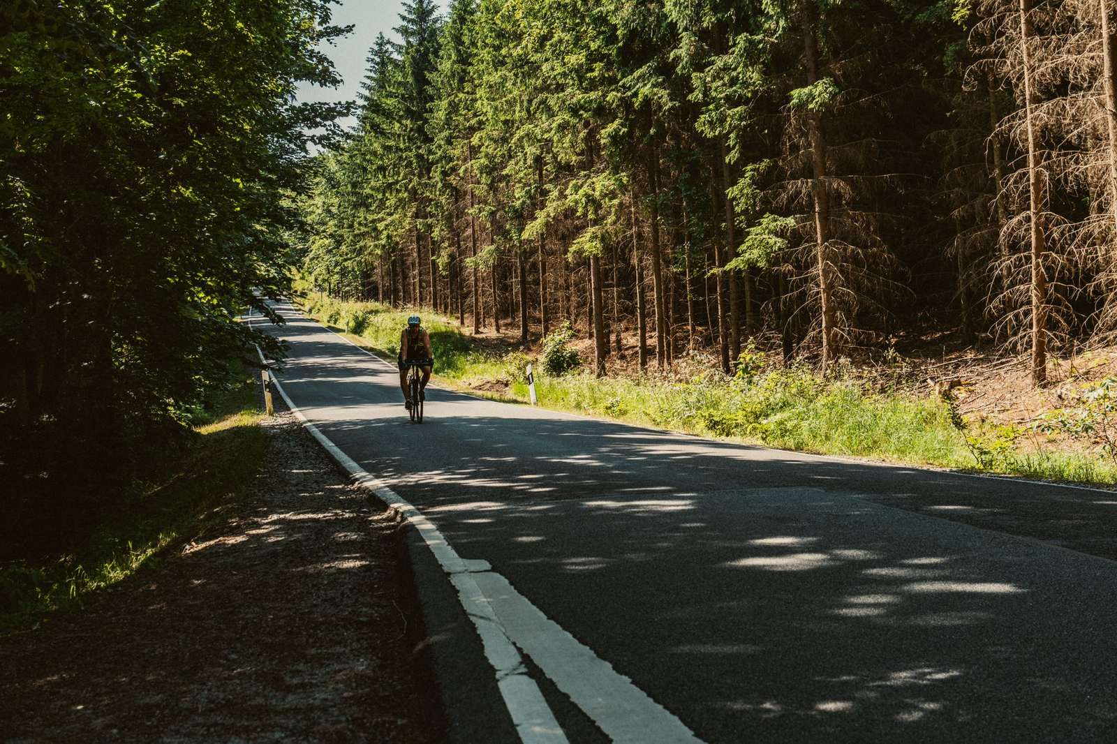
How hard is the ride?
Komoot rates its Bad Gastein to Spittal an der Drau stage as a hard ride that needs very good fitness. It covers 64.6 km with 1,970 m of climbing, on mostly paved surfaces, according to the Komoot collection. The same collection rates the following stage to Villach, at 39.0 km, as moderate.
The Tauern railway tunnel is what keeps the route manageable. Biroto notes that high Alpine passes are bridged by train, and that since the route opened in 2012 it has been a popular tour that is not too demanding technically or in fitness.
A Bikemap collection describes the third stage as starting either in the Gastein valley or at Mallnitz, depending on the time of day you cross the Tauern by shuttle train. Check the train timing before you set off that morning.
Walkers who would rather cover the same region on foot can read about the alpe adria trail instead.
When to ride and what the surface is like
Biroto names June, July and September as the best months. In August it can get very hot, especially in Friuli, according to the Biroto entry. The winter side of the region is covered under carinthia ski resorts, so save snow for a different trip.
The same entry lists surface lengths from OpenStreetMap as of January 2026, for a route of 396 km:
- Asphalt: 318.43 km.
- Compacted surface: 57.61 km.
- Fine gravel: 6.86 km.
Signposting also matters for planning. As of that entry, the route in Austria carries the Alpe-Adria logo, the northern part in Italy is signposted too, and the rest is to follow gradually. Keep a downloaded track handy for the unmarked sections.
Getting back from Grado
Plan your return before you start, because the finish is not well served by rail. Biroto states there is no train from Grado back to the start, and that from Aquileia it is difficult, with trains possible only from Udine. A train connection also exists again from Villach, as per the Biroto entry.
The same entry says there are various ways to return by bus, and that many of the bus transfers also run to Salzburg. Treat any transfer as something to confirm with the operator before you commit.
Planning your days
A few habits make the 8 stages easier to manage.
- Pick one tool and one track. Bikemap says each stage can be downloaded as a GPX or KML file.
- Decide how you will cross the Tauern, and check the shuttle train times the evening before.
- Book lodging with secure bike storage, which Biroto lists for several places in Salzburg.
- Sort out the return trip by train or bus before you leave Salzburg.
None of this needs special equipment, only a bit of homework. The route is a popular way to cross the Alps for riders of ordinary fitness, and the planning is what separates a smooth trip from a stressful one.
Frequently asked questions
How long is the Alpe Adria cycle path?
Show answer
It depends on the source. Bikemap’s tour totals 428.8 km in 8 stages, a Komoot collection lists 430 km, and Biroto gives 396 km. Plan on the longer figures.
Which stage is the hardest?
Show answer
Bad Gastein to Spittal an der Drau. Komoot rates it hard at 64.6 km with 1,970 m of climbing, and Bikemap shows 2,101 m of ascent for its version.
Which months are best for the ride?
Show answer
Biroto points to early summer and September as the best time to ride. It warns that August can be very hot, especially in Friuli.
Can I take a train back to Salzburg from Grado?
Show answer
According to Biroto, there is no train from Grado back to the start, and trains are only possible from Udine onward. Villach also has a train connection, and buses are an option, with many transfers going to Salzburg.