Planning hiking in Carinthia and unsure which trails suit you? Start with lakeside paths for easy days, pick a few-hour route for more effort, and save the multi-day trails for when you have time.
This guide is part of the wider look at outdoor activities in carinthia, and it sorts trails by the effort they ask of you.
| Trail | Key fact |
|---|---|
| Alpe-Adria Trail | 43 stages, over 750 kilometres |
| Carnic High Route | 155 kilometres |
| Southern Alps Panoramic Trail | over 200 kilometres, 17 day-long stages |
| Circular Trail around Lake Wörthersee | 55 kilometres |
| Dobratsch Loop | around 70 kilometres |
| Three Country Hike | about three hours |
These figures come from the hiking page of Visit Carinthia. Trail details can change, so check the source before you rely on them.
How to judge difficulty when hiking in Carinthia
The tourism pages behind this guide do not publish difficulty grades, so the trails below are sorted by distance and time on the trail. Treat that as a rough planning aid, not an official rating.
Before you set out, look up the route in the kaernten.at Tourenportal, which the site presents as a place to find all the key details at a glance. A few questions make the choice easier:
- How many hours, or how many day stages, can you walk comfortably?
- Do you want lake level, a summit view, or both?
- Do you want to sleep in one place or move on every day?
The same kaernten.at hiking page says the number of day stages helps you choose a route. It also notes that luggage transport and shuttle options make a long walk more comfortable.
Because grades are missing, stage counts and hours are the most useful yardsticks in the sources. Here is one rough way to read the figures, from shortest to longest commitment:
- A few hours: the Three Country Hike is described as a tour of about three hours (Visit Carinthia).
- A few days: Via Paradiso on Lake Millstätter See is laid out as 4 day stages over 55 kilometres (kaernten.at).
- Many days: the Southern Alps Panoramic Trail has 17 day-long stages, and the Alpe-Adria Trail has 43 stages (Visit Carinthia).
Distance alone does not tell you how steep or exposed a route is, so read each route description before you commit. Pack for the day you plan, and keep a shorter option in mind in case you want to turn back early. A realistic plan that matches your fitness and your daylight is worth more than a long list of ambitious stages, and it leaves room to enjoy the view.
Gentle walks: lakes and Slow Trails
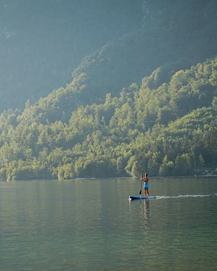
The easiest way into hiking in Carinthia is to stay near the water. Visit Carinthia describes its Slow Trails as paths within view of six of the loveliest Carinthian lakes, designed to clear the head and help you wind down.
Via Paradiso on Lake Millstätter See is a lake-and-mountain route with 4 day stages and 55 kilometres, according to the kaernten.at summer guide. It follows soft forest and moss paths with changing views of the lake, and the guide mentions a swim in water of up to 27 °C.
On warm days the kaernten.at hiking page points walkers toward Lake Klopeiner See, which it describes as 28 degrees warm. A lakeside day like this suits a first outing or a rest day between bigger tours.
Moderate day hikes with big views
The Three Country Hike is a good example of a half-day outing. From the Dreiländer-Jet summit station you can reach the point where Austria, Italy and Slovenia meet in about 35 minutes, and Visit Carinthia says the full tour of about three hours offers the best experience.
The summit of Ederplan Mountain offers a view of 30 three-thousanders and 66 churches, according to Visit Carinthia. That makes it a rewarding goal when you want a wide view without planning several days.
Dobratsch is described by Visit Carinthia as the largest landslide area of the Eastern Alps and the living space of rare plants and animals. If you want more, the Dobratsch Loop links many natural areas and cultural landscapes within around 70 kilometres.
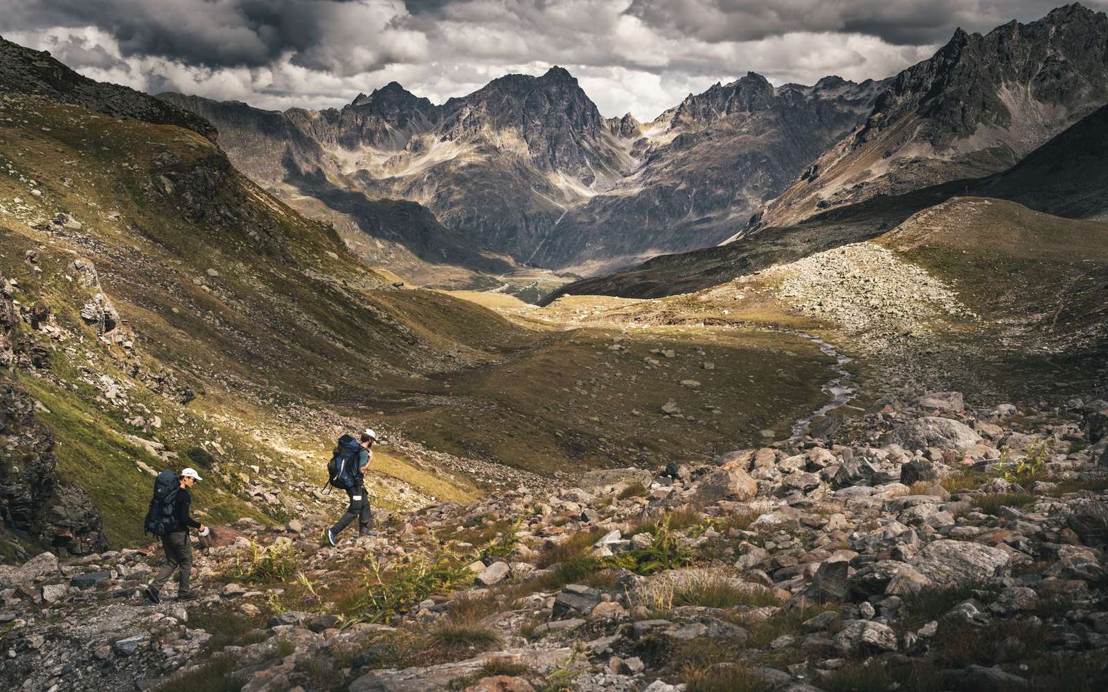
Long-distance routes for experienced hikers
The Alpe-Adria Trail links three countries (Carinthia in Austria, Slovenia and Italy) in 43 stages of 20km each, as described by Visit Carinthia. It runs for over 750 kilometres from the Grossglockner to the Adriatic Sea near Trieste, and the stages can be hiked individually or combined.
The Austrian section begins near the Pasterze, the largest glacier in the Eastern Alps, at Kaiser Franz Josefs Höhe. It leads through the Mölltal Valley to the artists’ village of Gmünd, then over the Millstätter Alpe and through the Nockberge Biosphere Park to Arriach, per Visit Carinthia. The guide to the nockberge national park covers that area in more detail.
Other long routes appear on the same tourism pages:
- Carnic High Route: 155 kilometres along the border between Carinthia and Italy, where hikers can discover 500 million years of Earth’s history and, with luck, fossils (Visit Carinthia).
- Southern Alps Panoramic Trail: over 200 kilometres and 17 day-long stages with views of the Karavankas (Visit Carinthia).
- Circular Trail around Lake Wörthersee: 55 kilometres with a lovely view of the Karavankas (Visit Carinthia).
Routes of this length need planning, so decide early whether you want the whole trail or a few stages.
High summits and what you may spot
The Grossglockner is the highest mountain in Austria at 3,798 m, and it lies in the Hohe Tauern National Park in Carinthia, according to kaernten.at. The same page names the 3,360-metre Hochalmspitze as a place to celebrate a summit.
With a little luck you may meet ibex or the rare Wulfenia flower on the way, says kaernten.at. The site also reminds hikers that the animals, plants and nature along a summit path deserve respect.
Which trail should you choose?
Match the trail to the time you have rather than to its name. Here is a simple order of choice:
- Short on time: try the Three Country Hike, about three hours (Visit Carinthia), or a lakeside Slow Trail.
- Several days in one region: walk Via Paradiso, with 4 day stages (kaernten.at).
- Time for a long route: take stages of the Alpe-Adria Trail, the Carnic High Route or the Southern Alps Panoramic Trail.
If you want to add a protected climbing route to your trip, the guide to via ferrata carinthia is the next stop. Whatever you pick, check route details and conditions before you leave.
Frequently asked questions
Which trail has the most stages?
Show answer
According to kaernten.at, the Alpe-Adria Trail is the hiking trail with the most stages: 43 stages over 750 kilometres.
Where should beginners start?
Show answer
Lakeside paths such as the Slow Trails or Via Paradiso are a gentle start, as described by Visit Carinthia and kaernten.at. Check each route in the Tourenportal first.
How long does the Three Country Hike take?
Show answer
Visit Carinthia describes it as a tour of about three hours, with about 35 minutes from the Dreiländer-Jet summit station to the meeting point of the three countries.
Can I hike only part of a long-distance trail?
Show answer
Yes. Visit Carinthia says the 43 Alpe-Adria Trail stages can be hiked individually or combined in different variations.